map
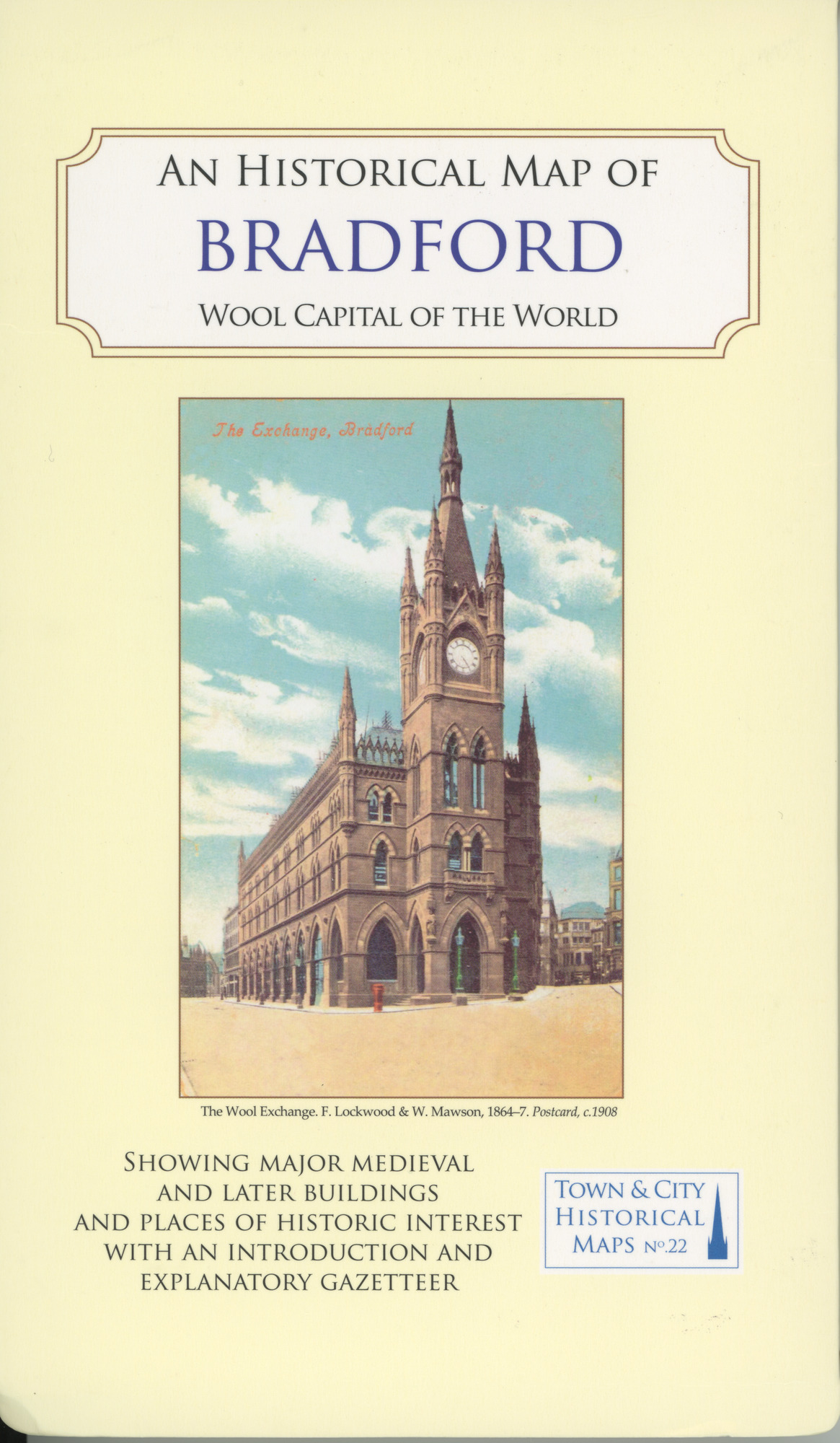
Historical Map of Bradford - Wool Capital of the World
Town & City Historical Maps No.22
1 / 2
Town & City Historical Maps No.22. The map shows major medieval and later buildings standing in 1921, places of historic interest and includes an introduction and explanatory gazetteer
Related items
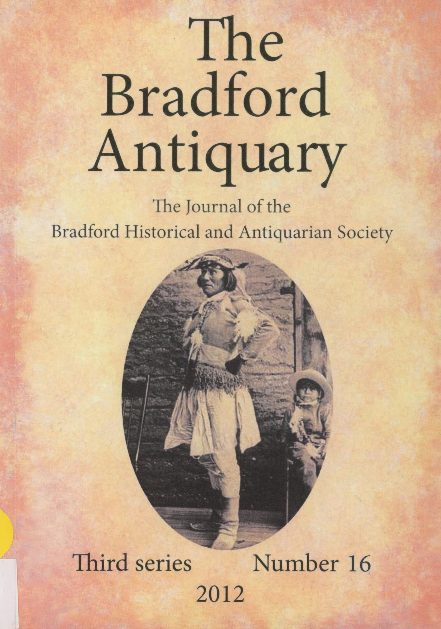
The Bradford Antiquary The Journal of the Bradford Historical and Antiquarian Society Third series No.16 2012
The Bradford Antiquary 2012
document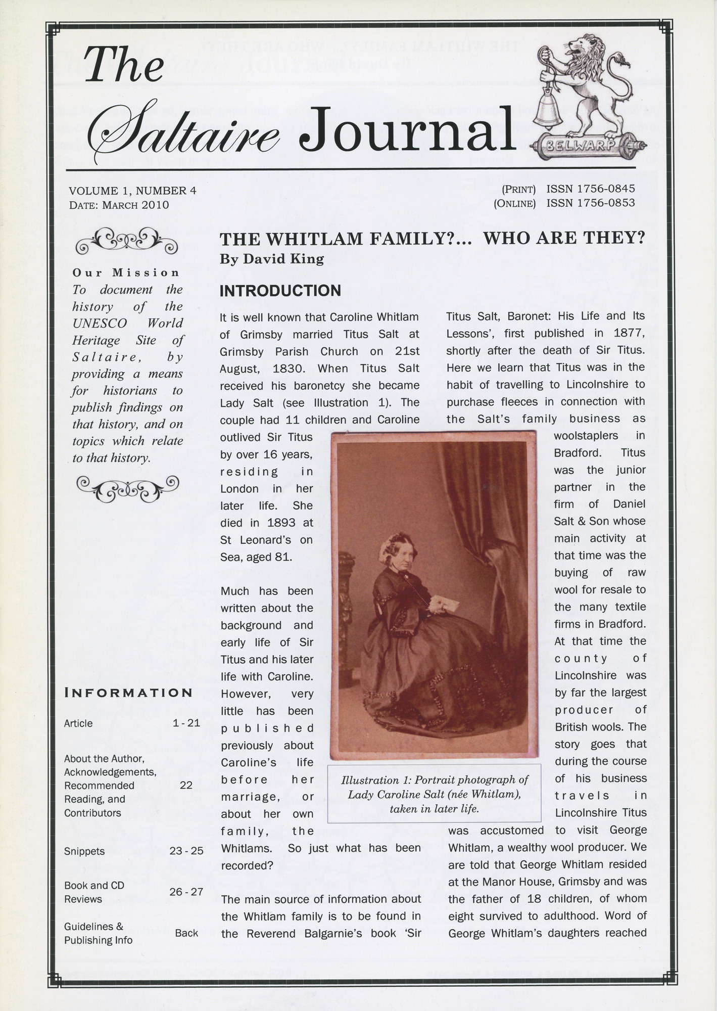
Includes snippet about Saltaire Park and Sir James Roberts
The Saltaire Journal Vol.1 No.4 March 2010. The Whitlam Family?....Who are they?
document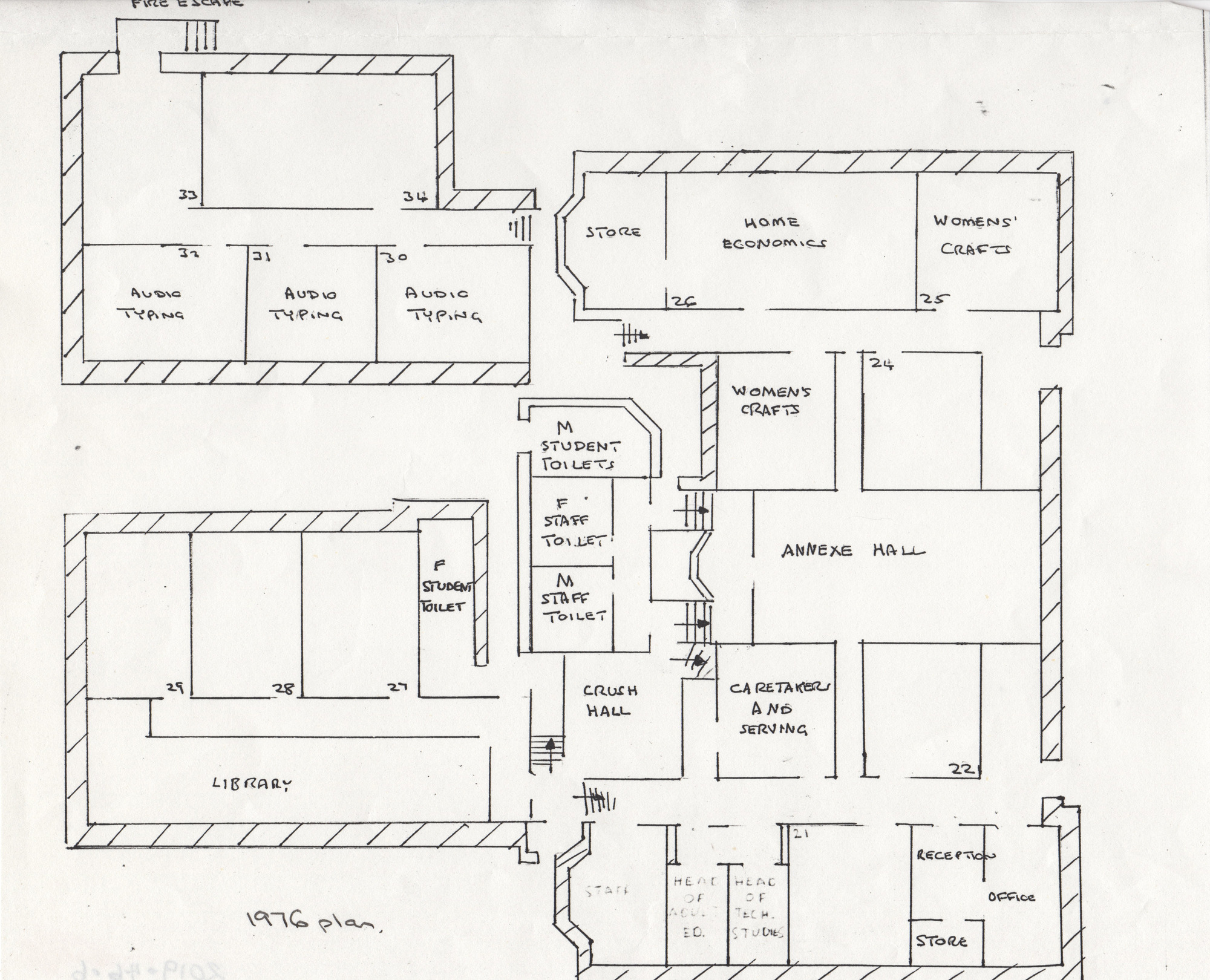
1976 plan of Shipley college - black and white - showing annexe hall, rooms, typing rooms, womens crafts, library etc.
1976 Plan
map
Booklet: 'History of The Bradford Property Trust 1928-1978' by John Brennan (1978)
History of The Bradford Property Trust 1928-1978
document
A reproduction of the 1906 Ordnance Survey Map, part of the Godfrey Edition
Old Ordnance Survey Map Shipley & Saltaire 1906
map
An illustrated paperback book subtitled The Buildings of the Yorkshire Textile Industry